
Thank you for supporting this site ❤️
Make a donation
Make a donation
Korea topographic map
Click on the map to display elevation.
Thank you for supporting this site ❤️
Make a donation
Make a donation
About this map
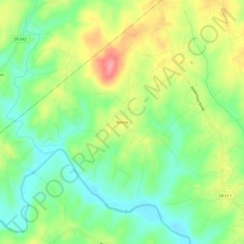
Name: Korea topographic map, elevation, terrain.
Location: Korea, Culpeper County, Virginia, 22746, United States (38.61151 -78.03277 38.65151 -77.99277)
Average elevation: 135 m
Minimum elevation: 95 m
Maximum elevation: 192 m
Thank you for supporting this site ❤️
Make a donation
Make a donation
Other topographic maps
Click on a map to view its topography, its elevation and its terrain.