
Kara-Kulja topographic map
Interactive map
Click on the map to display elevation.
About this map
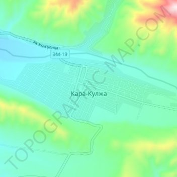
Name: Kara-Kulja topographic map, elevation, terrain.
Location: Kara-Kulja, Kara-Kulja District, Osh Region, Kyrgyzstan (40.62390 73.55813 40.64123 73.61988)
Average elevation: 1,443 m
Minimum elevation: 1,319 m
Maximum elevation: 1,879 m