
东阳镇 topographic map
Interactive map
Click on the map to display elevation.
About this map
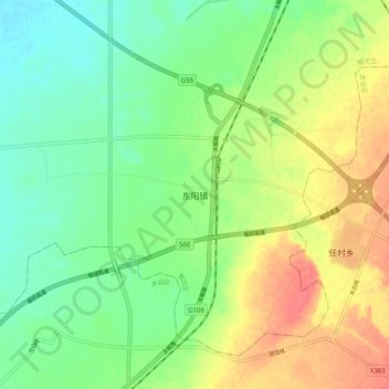
Name: 东阳镇 topographic map, elevation, terrain.
Location: 东阳镇, 晋中市, 山西省, 中国 (37.49890 112.63400 37.57890 112.71400)
Average elevation: 804 m
Minimum elevation: 779 m
Maximum elevation: 840 m
Other topographic maps
Click on a map to view its topography, its elevation and its terrain.