
Thank you for supporting this site ❤️
Make a donation
Make a donation
Le Grand Coquille topographic map
Click on the map to display elevation.
Thank you for supporting this site ❤️
Make a donation
Make a donation
About this map
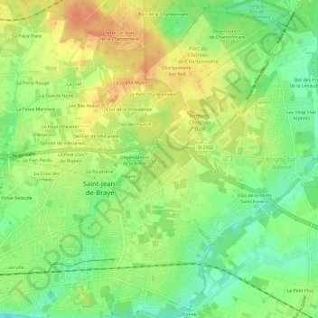
Name: Le Grand Coquille topographic map, elevation, terrain.
Average elevation: 112 m
Minimum elevation: 91 m
Maximum elevation: 132 m
Thank you for supporting this site ❤️
Make a donation
Make a donation
Other topographic maps
Click on a map to view its topography, its elevation and its terrain.
45800
France > Centre-Val de Loire > Loiret > Saint-Jean-de-Braye > Terres de la Godde
Average elevation: 110 m