
Thank you for supporting this site ❤️
Make a donation
Make a donation
Richardson topographic map
Click on the map to display elevation.
Thank you for supporting this site ❤️
Make a donation
Make a donation
About this map
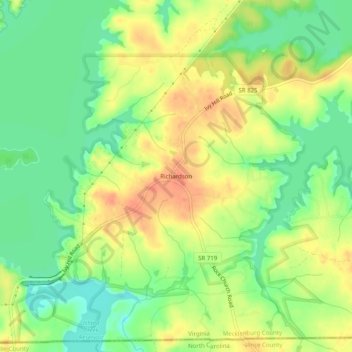
Name: Richardson topographic map, elevation, terrain.
Location: Richardson, Mecklenburg County, Virginia, United States (36.54125 -78.46611 36.58125 -78.42611)
Average elevation: 102 m
Minimum elevation: 79 m
Maximum elevation: 123 m
Thank you for supporting this site ❤️
Make a donation
Make a donation
Other topographic maps
Click on a map to view its topography, its elevation and its terrain.