
Thank you for supporting this site ❤️
Make a donation
Make a donation
Merkur topographic map
Click on the map to display elevation.
Thank you for supporting this site ❤️
Make a donation
Make a donation
About this map
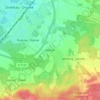
Name: Merkur topographic map, elevation, terrain.
Location: Merkur, Drebkau, Spree-Neiße, Brandenburg, 03116, Deutschland (51.62045 14.22025 51.66045 14.26025)
Average elevation: 108 m
Minimum elevation: 80 m
Maximum elevation: 156 m
Thank you for supporting this site ❤️
Make a donation
Make a donation
Other topographic maps
Click on a map to view its topography, its elevation and its terrain.