
Thank you for supporting this site ❤️
Make a donation
Make a donation
Bozar topographic map
Click on the map to display elevation.
Thank you for supporting this site ❤️
Make a donation
Make a donation
About this map
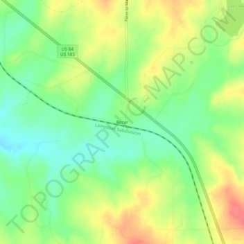
Name: Bozar topographic map, elevation, terrain.
Location: Bozar, Mills County, Texas, 76864, United States (31.49683 -98.61699 31.53683 -98.57699)
Average elevation: 440 m
Minimum elevation: 412 m
Maximum elevation: 475 m
Thank you for supporting this site ❤️
Make a donation
Make a donation
Other topographic maps
Click on a map to view its topography, its elevation and its terrain.