
Thank you for supporting this site ❤️
Make a donation
Make a donation
Hattenburg topographic map
Click on the map to display elevation.
Thank you for supporting this site ❤️
Make a donation
Make a donation
About this map
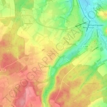
Name: Hattenburg topographic map, elevation, terrain.
Average elevation: 626 m
Minimum elevation: 569 m
Maximum elevation: 669 m
Thank you for supporting this site ❤️
Make a donation
Make a donation
Other topographic maps
Click on a map to view its topography, its elevation and its terrain.
Reinstetten
Deutschland > Baden-Württemberg > Landkreis Biberach > Ochsenhausen
Average elevation: 596 m
Mittelbuch
Deutschland > Baden-Württemberg > Landkreis Biberach > Ochsenhausen
Average elevation: 649 m