
Thank you for supporting this site ❤️
Make a donation
Make a donation
River Livet topographic map
Click on the map to display elevation.
Thank you for supporting this site ❤️
Make a donation
Make a donation
About this map
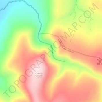
Name: River Livet topographic map, elevation, terrain.
Location: River Livet, Moray, Scotland, United Kingdom (57.28827 -3.18331 57.29479 -3.16998)
Average elevation: 562 m
Minimum elevation: 363 m
Maximum elevation: 730 m
Thank you for supporting this site ❤️
Make a donation
Make a donation