
Thank you for supporting this site ❤️
Make a donation
Make a donation
Imperial topographic map
Click on the map to display elevation.
Thank you for supporting this site ❤️
Make a donation
Make a donation
About this map
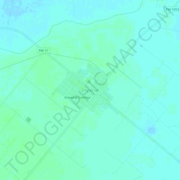
Name: Imperial topographic map, elevation, terrain.
Location: Imperial, Pecos County, Texas, 79743, United States (31.25368 -102.71400 31.29368 -102.67400)
Average elevation: 730 m
Minimum elevation: 727 m
Maximum elevation: 734 m
Thank you for supporting this site ❤️
Make a donation
Make a donation
Other topographic maps
Click on a map to view its topography, its elevation and its terrain.