
Thank you for supporting this site ❤️
Make a donation
Make a donation
Mawoko topographic map
Click on the map to display elevation.
Thank you for supporting this site ❤️
Make a donation
Make a donation
About this map
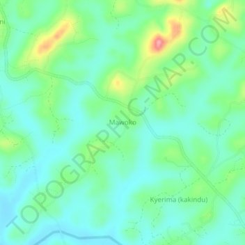
Name: Mawoko topographic map, elevation, terrain.
Location: Mawoko, Mubende, Central Region, Uganda (0.63856 31.33908 0.67856 31.37908)
Average elevation: 1,329 m
Minimum elevation: 1,297 m
Maximum elevation: 1,415 m
Thank you for supporting this site ❤️
Make a donation
Make a donation