
荆源 topographic map
Interactive map
Click on the map to display elevation.
About this map
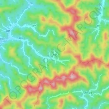
Name: 荆源 topographic map, elevation, terrain.
Location: 荆源, 紫阳镇, 婺源县, 上饶市, 江西省, 中国 (29.16736 117.90517 29.20736 117.94517)
Average elevation: 200 m
Minimum elevation: 95 m
Maximum elevation: 364 m