
Thank you for supporting this site ❤️
Make a donation
Make a donation
Nederhögen topographic map
Click on the map to display elevation.
Thank you for supporting this site ❤️
Make a donation
Make a donation
About this map
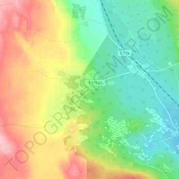
Name: Nederhögen topographic map, elevation, terrain.
Location: Nederhögen, Bergs kommun, Provinz Jämtland, Schweden (62.38667 14.38130 62.42667 14.42130)
Average elevation: 424 m
Minimum elevation: 360 m
Maximum elevation: 517 m
Thank you for supporting this site ❤️
Make a donation
Make a donation
Other topographic maps
Click on a map to view its topography, its elevation and its terrain.
Thank you for supporting this site ❤️
Make a donation
Make a donation
Thank you for supporting this site ❤️
Make a donation
Make a donation