
Thank you for supporting this site ❤️
Make a donation
Make a donation
Wakarusa topographic map
Click on the map to display elevation.
Thank you for supporting this site ❤️
Make a donation
Make a donation
About this map
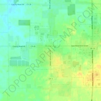
Name: Wakarusa topographic map, elevation, terrain.
Location: Wakarusa, Elkhart County, Indiana, 46573, United States (41.52174 -86.04025 41.54733 -85.99367)
Average elevation: 257 m
Minimum elevation: 245 m
Maximum elevation: 271 m
Thank you for supporting this site ❤️
Make a donation
Make a donation
Other topographic maps
Click on a map to view its topography, its elevation and its terrain.