
Thank you for supporting this site ❤️
Make a donation
Make a donation
Lindenberg topographic map
Click on the map to display elevation.
Thank you for supporting this site ❤️
Make a donation
Make a donation
About this map
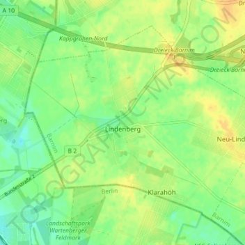
Name: Lindenberg topographic map, elevation, terrain.
Location: Lindenberg, Ahrensfelde, Barnim, Brandenburg, Deutschland (52.58671 13.49666 52.62017 13.56622)
Average elevation: 61 m
Minimum elevation: 48 m
Maximum elevation: 74 m
Thank you for supporting this site ❤️
Make a donation
Make a donation
Other topographic maps
Click on a map to view its topography, its elevation and its terrain.