
Thank you for supporting this site ❤️
Make a donation
Make a donation
Moore topographic map
Click on the map to display elevation.
Thank you for supporting this site ❤️
Make a donation
Make a donation
About this map
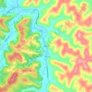
Name: Moore topographic map, elevation, terrain.
Location: Moore, Roane County, West Virginia, 25270, United States (38.86258 -81.42762 38.90258 -81.38762)
Average elevation: 266 m
Minimum elevation: 201 m
Maximum elevation: 340 m
Thank you for supporting this site ❤️
Make a donation
Make a donation
Other topographic maps
Click on a map to view its topography, its elevation and its terrain.