
المدينة topographic map
Interactive map
Click on the map to display elevation.
About this map
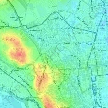
Name: المدينة topographic map, elevation, terrain.
Location: المدينة, معتمدية المدينة, Tunis, Tunisia (36.80086 10.16623 36.80486 10.17017)
Average elevation: 17 m
Minimum elevation: 1 m
Maximum elevation: 54 m
Other topographic maps
Click on a map to view its topography, its elevation and its terrain.