
Thank you for supporting this site ❤️
Make a donation
Make a donation
Igbokoda topographic map
Click on the map to display elevation.
Thank you for supporting this site ❤️
Make a donation
Make a donation
About this map
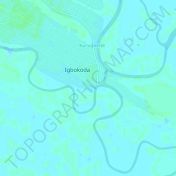
Name: Igbokoda topographic map, elevation, terrain.
Location: Igbokoda, Ilaje, Ondo State, Nigeria (6.31389 4.76076 6.39389 4.84076)
Average elevation: 3 m
Minimum elevation: 0 m
Maximum elevation: 13 m
Thank you for supporting this site ❤️
Make a donation
Make a donation