
Dover topographic map
Interactive map
Click on the map to display elevation.
About this map
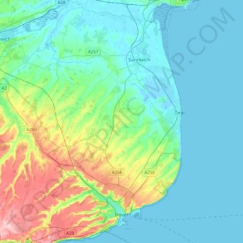
Name: Dover topographic map, elevation, terrain.
Location: Dover, Kent, South East, England, United Kingdom (51.09719 1.14275 51.33238 1.40621)
Average elevation: 40 m
Minimum elevation: -2 m
Maximum elevation: 189 m