
板野郡 topographic map
Interactive map
Click on the map to display elevation.
About this map
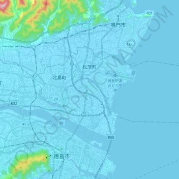
Name: 板野郡 topographic map, elevation, terrain.
Location: Matsushige, 板野郡, Préfecture de Tokushima, Shikoku, Japon (34.08753 134.55970 34.15538 134.72866)
Average elevation: 21 m
Minimum elevation: -5 m
Maximum elevation: 530 m
Other topographic maps
Click on a map to view its topography, its elevation and its terrain.