
Thank you for supporting this site ❤️
Make a donation
Make a donation
Jackfish Lake topographic map
Click on the map to display elevation.
Thank you for supporting this site ❤️
Make a donation
Make a donation
About this map
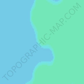
Name: Jackfish Lake topographic map, elevation, terrain.
Location: Jackfish Lake, Division No. 17, Saskatchewan, Canada (53.07177 -108.41210 53.07187 -108.41200)
Average elevation: 528 m
Minimum elevation: 526 m
Maximum elevation: 529 m
Thank you for supporting this site ❤️
Make a donation
Make a donation
Other topographic maps
Click on a map to view its topography, its elevation and its terrain.