
Thank you for supporting this site ❤️
Make a donation
Make a donation
Tomils topographic map
Click on the map to display elevation.
Thank you for supporting this site ❤️
Make a donation
Make a donation
About this map
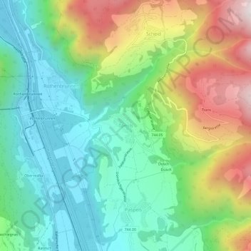
Name: Tomils topographic map, elevation, terrain.
Location: Tomils, Domleschg, Viamala, Graubünden, 7418, Schweiz (46.74206 9.42232 46.78206 9.46232)
Average elevation: 990 m
Minimum elevation: 606 m
Maximum elevation: 1,738 m
Thank you for supporting this site ❤️
Make a donation
Make a donation