
Thank you for supporting this site ❤️
Make a donation
Make a donation
Sandy Hills topographic map
Click on the map to display elevation.
Thank you for supporting this site ❤️
Make a donation
Make a donation
About this map
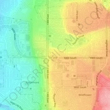
Name: Sandy Hills topographic map, elevation, terrain.
Average elevation: 1,436 m
Minimum elevation: 1,379 m
Maximum elevation: 1,498 m
Thank you for supporting this site ❤️
Make a donation
Make a donation
Other topographic maps
Click on a map to view its topography, its elevation and its terrain.
Granite Park
United States > Utah > Salt Lake County > Sandy > Granite Crest
Average elevation: 1,534 m