
Thank you for supporting this site ❤️
Make a donation
Make a donation
Little River topographic map
Click on the map to display elevation.
Thank you for supporting this site ❤️
Make a donation
Make a donation
About this map
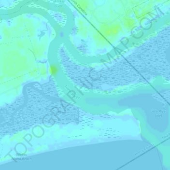
Name: Little River topographic map, elevation, terrain.
Location: Little River, Horry County, South Carolina, 28467, USA (33.84258 -78.58220 33.87665 -78.54598)
Average elevation: 1 m
Minimum elevation: -6 m
Maximum elevation: 9 m
Thank you for supporting this site ❤️
Make a donation
Make a donation
Other topographic maps
Click on a map to view its topography, its elevation and its terrain.