
Heppenbach topographic map
Interactive map
Click on the map to display elevation.
About this map
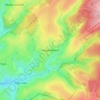
Name: Heppenbach topographic map, elevation, terrain.
Location: Heppenbach, Amblève, Verviers, Liège, Wallonie, 4771, Belgique (50.34317 6.19869 50.38317 6.23869)
Average elevation: 526 m
Minimum elevation: 447 m
Maximum elevation: 620 m