
Thank you for supporting this site ❤️
Make a donation
Make a donation
Glencoe topographic map
Click on the map to display elevation.
Thank you for supporting this site ❤️
Make a donation
Make a donation
About this map
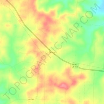
Name: Glencoe topographic map, elevation, terrain.
Location: Glencoe, Fulton County, Arkansas, 72539, United States (36.27423 -91.76737 36.31423 -91.72737)
Average elevation: 233 m
Minimum elevation: 186 m
Maximum elevation: 271 m
Thank you for supporting this site ❤️
Make a donation
Make a donation