
Palia topographic map
Interactive map
Click on the map to display elevation.
About this map
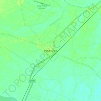
Name: Palia topographic map, elevation, terrain.
Location: Palia, Kheri, Uttar Pradesh, 262902, India (28.39127 80.54100 28.47127 80.62100)
Average elevation: 157 m
Minimum elevation: 151 m
Maximum elevation: 162 m