
Dhangawan topographic map
Interactive map
Click on the map to display elevation.
About this map
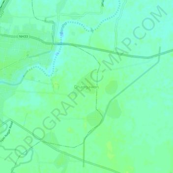
Name: Dhangawan topographic map, elevation, terrain.
Location: Dhangawan, Jehanabad, Bihar, 804408, India (25.19259 84.99536 25.23259 85.03536)
Average elevation: 64 m
Minimum elevation: 59 m
Maximum elevation: 69 m