
Talas topographic map
Interactive map
Click on the map to display elevation.
About this map
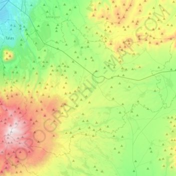
Name: Talas topographic map, elevation, terrain.
Location: Talas, Kayseri, Central Anatolia Region, Turkey (38.50279 35.53101 38.72038 35.88634)
Average elevation: 1,611 m
Minimum elevation: 1,065 m
Maximum elevation: 2,622 m