
Thank you for supporting this site ❤️
Make a donation
Make a donation
Arnbruck topographic map
Click on the map to display elevation.
Thank you for supporting this site ❤️
Make a donation
Make a donation
About this map
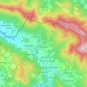
Name: Arnbruck topographic map, elevation, terrain.
Location: Arnbruck, Landkreis Regen, Bavaria, 93471, Germany (49.10265 12.91345 49.16644 13.06588)
Average elevation: 721 m
Minimum elevation: 443 m
Maximum elevation: 1,254 m
Thank you for supporting this site ❤️
Make a donation
Make a donation