
Thank you for supporting this site ❤️
Make a donation
Make a donation
Huebro topographic map
Click on the map to display elevation.
Thank you for supporting this site ❤️
Make a donation
Make a donation
About this map
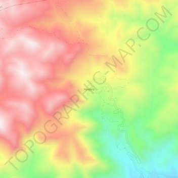
Name: Huebro topographic map, elevation, terrain.
Location: Huebro, Níjar, Almería, Andalucía, España (36.96704 -2.24271 37.00704 -2.20271)
Average elevation: 738 m
Minimum elevation: 337 m
Maximum elevation: 1,049 m
Thank you for supporting this site ❤️
Make a donation
Make a donation