
kalaha topographic map
Click on the map to display elevation.
About this map
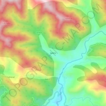
Name: kalaha topographic map, elevation, terrain.
Location: kalaha, Kalakote, Rajouri District, Jammu and Kashmir, India (33.21194 74.47278 33.25194 74.51278)
Average elevation: 952 m
Minimum elevation: 723 m
Maximum elevation: 1,218 m