
Thank you for supporting this site ❤️
Make a donation
Make a donation
Koontz Lake topographic map
Click on the map to display elevation.
Thank you for supporting this site ❤️
Make a donation
Make a donation
About this map
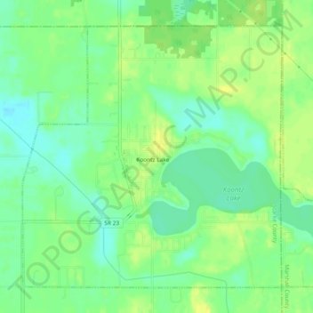
Name: Koontz Lake topographic map, elevation, terrain.
Location: Koontz Lake, Starke County, Indiana, United States (41.40384 -86.50520 41.43302 -86.45881)
Average elevation: 221 m
Minimum elevation: 210 m
Maximum elevation: 232 m
Thank you for supporting this site ❤️
Make a donation
Make a donation
Other topographic maps
Click on a map to view its topography, its elevation and its terrain.