
Thank you for supporting this site ❤️
Make a donation
Make a donation
Bukit Raka topographic map
Click on the map to display elevation.
Thank you for supporting this site ❤️
Make a donation
Make a donation
About this map
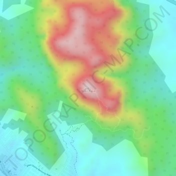
Name: Bukit Raka topographic map, elevation, terrain.
Location: Bukit Raka, Bentong, Pahang, 29700, Malaysia (3.53221 101.92575 3.53231 101.92585)
Average elevation: 251 m
Minimum elevation: 91 m
Maximum elevation: 512 m
Thank you for supporting this site ❤️
Make a donation
Make a donation
Other topographic maps
Click on a map to view its topography, its elevation and its terrain.