
Southwater topographic map
Click on the map to display elevation.
About this map
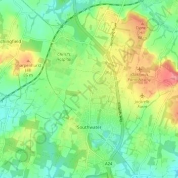
Name: Southwater topographic map, elevation, terrain.
Location: Southwater, Horsham, West Sussex, England, United Kingdom (51.01064 -0.38161 51.05767 -0.31674)
Average elevation: 53 m
Minimum elevation: 25 m
Maximum elevation: 101 m
Other topographic maps
Click on a map to view its topography, its elevation and its terrain.