Geolocate
👉 Easily get elevation data in JSON, GeoTIFF and KML formats using Elevation API
Thank you for supporting this site ❤️
Make a donation

Adawa topographic map

Click on the map to display elevation.

👉 Easily get elevation data in JSON, GeoTIFF and KML formats using Elevation API
Thank you for supporting this site ❤️
Make a donation

About this map

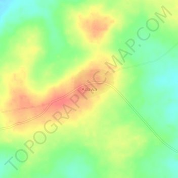
Name: Adawa topographic map, elevation, terrain.

Location: Adawa, Awe, Nasarawa State, Nigeria (8.10424 9.18853 8.14424 9.22853)

Average elevation: 165 m

Minimum elevation: 138 m

Maximum elevation: 192 m