
Thank you for supporting this site ❤️
Make a donation
Make a donation
La Estrella topographic map
Click on the map to display elevation.
Thank you for supporting this site ❤️
Make a donation
Make a donation
About this map
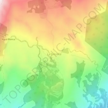
Name: La Estrella topographic map, elevation, terrain.
Location: La Estrella, Jaramillo, Distrito Boquete, Chiriquí, Panama (8.70844 -82.40634 8.74844 -82.36634)
Average elevation: 945 m
Minimum elevation: 597 m
Maximum elevation: 1,338 m
Thank you for supporting this site ❤️
Make a donation
Make a donation