
Thank you for supporting this site ❤️
Make a donation
Make a donation
Richter topographic map
Click on the map to display elevation.
Thank you for supporting this site ❤️
Make a donation
Make a donation
About this map
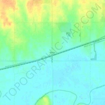
Name: Richter topographic map, elevation, terrain.
Location: Richter, Franklin County, Kansas, United States (38.59168 -95.39859 38.63168 -95.35859)
Average elevation: 285 m
Minimum elevation: 274 m
Maximum elevation: 308 m
Thank you for supporting this site ❤️
Make a donation
Make a donation
Other topographic maps
Click on a map to view its topography, its elevation and its terrain.