
Rivera topographic map
Interactive map
Click on the map to display elevation.
About this map
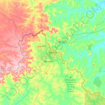
Name: Rivera topographic map, elevation, terrain.
Location: Rivera, 40000, Uruguay (-31.06006 -55.70082 -30.74006 -55.38082)
Average elevation: 225 m
Minimum elevation: 132 m
Maximum elevation: 382 m