
Thank you for supporting this site ❤️
Make a donation
Make a donation
Goodview topographic map
Click on the map to display elevation.
Thank you for supporting this site ❤️
Make a donation
Make a donation
About this map
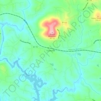
Name: Goodview topographic map, elevation, terrain.
Location: Goodview, Bedford County, Virginia, 24095, United States (37.19431 -79.74503 37.23431 -79.70503)
Average elevation: 289 m
Minimum elevation: 240 m
Maximum elevation: 440 m
Thank you for supporting this site ❤️
Make a donation
Make a donation
Other topographic maps
Click on a map to view its topography, its elevation and its terrain.