
Mont topographic map
Interactive map
Click on the map to display elevation.
About this map
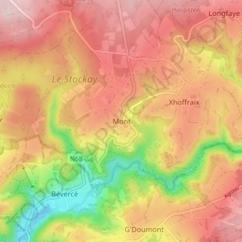
Name: Mont topographic map, elevation, terrain.
Location: Mont, Malmedy, Verviers, Liège, Wallonie, 4960, Belgique (50.43351 6.03397 50.47351 6.07397)
Average elevation: 493 m
Minimum elevation: 335 m
Maximum elevation: 597 m