
Le Borgne topographic map
Interactive map
Click on the map to display elevation.
About this map
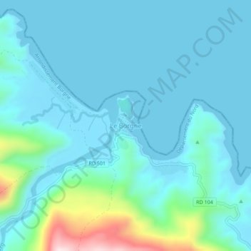
Name: Le Borgne topographic map, elevation, terrain.
Location: Le Borgne, Arrondissement Borgne, Département du Nord, Haïti (19.82512 -72.54286 19.86512 -72.50286)
Average elevation: 63 m
Minimum elevation: -1 m
Maximum elevation: 456 m