
白马寺山植物园 topographic map
Interactive map
Click on the map to display elevation.
About this map
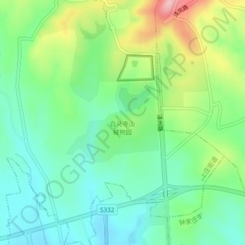
Name: 白马寺山植物园 topographic map, elevation, terrain.
Location: 白马寺山植物园, 西上庄街道, 城区, 晋城市, 山西省, 中国 (35.52932 112.83306 35.53829 112.84573)
Average elevation: 799 m
Minimum elevation: 737 m
Maximum elevation: 929 m
Other topographic maps
Click on a map to view its topography, its elevation and its terrain.