
Thank you for supporting this site ❤️
Make a donation
Make a donation
Howe Valley topographic map
Click on the map to display elevation.
Thank you for supporting this site ❤️
Make a donation
Make a donation
About this map
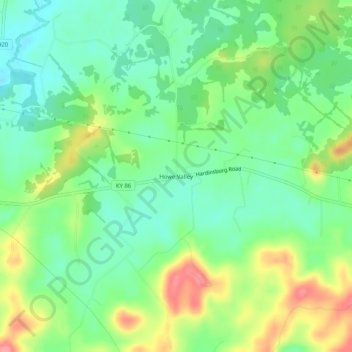
Name: Howe Valley topographic map, elevation, terrain.
Location: Howe Valley, Hardin County, Kentucky, United States (37.66728 -86.10830 37.70728 -86.06830)
Average elevation: 221 m
Minimum elevation: 188 m
Maximum elevation: 275 m
Thank you for supporting this site ❤️
Make a donation
Make a donation
Other topographic maps
Click on a map to view its topography, its elevation and its terrain.