
Emure-Ile topographic map
Interactive map
Click on the map to display elevation.
About this map
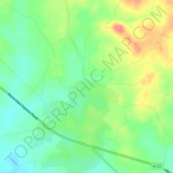
Name: Emure-Ile topographic map, elevation, terrain.
Location: Emure-Ile, Owo, Ondo, Nigeria (7.23060 5.49510 7.27060 5.53510)
Average elevation: 315 m
Minimum elevation: 285 m
Maximum elevation: 362 m