
Thank you for supporting this site ❤️
Make a donation
Make a donation
Bukura topographic map
Click on the map to display elevation.
Thank you for supporting this site ❤️
Make a donation
Make a donation
About this map
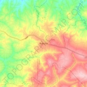
Name: Bukura topographic map, elevation, terrain.
Location: Bukura, Butere, Kakamega County, Western, Kenya (0.18091 34.57408 0.26091 34.65408)
Average elevation: 1,434 m
Minimum elevation: 1,324 m
Maximum elevation: 1,529 m
Thank you for supporting this site ❤️
Make a donation
Make a donation