
Thank you for supporting this site ❤️
Make a donation
Make a donation
Lathrop Wells topographic map
Click on the map to display elevation.
Thank you for supporting this site ❤️
Make a donation
Make a donation
About this map
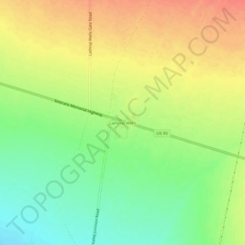
Name: Lathrop Wells topographic map, elevation, terrain.
Location: Lathrop Wells, Nye County, Nevada, United States (36.62293 -116.41781 36.66293 -116.37781)
Average elevation: 813 m
Minimum elevation: 788 m
Maximum elevation: 835 m
Thank you for supporting this site ❤️
Make a donation
Make a donation
Other topographic maps
Click on a map to view its topography, its elevation and its terrain.