
Thank you for supporting this site ❤️
Make a donation
Make a donation
Engi topographic map
Click on the map to display elevation.
Thank you for supporting this site ❤️
Make a donation
Make a donation
About this map
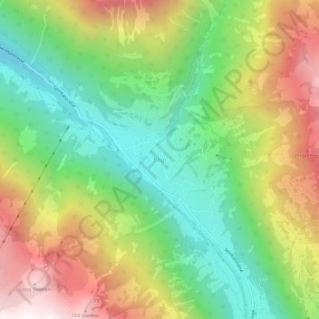
Name: Engi topographic map, elevation, terrain.
Location: Engi, Glarus Süd, Glarus, 8765, Schweiz (46.96276 9.13234 47.00276 9.17234)
Average elevation: 1,275 m
Minimum elevation: 677 m
Maximum elevation: 2,113 m
Thank you for supporting this site ❤️
Make a donation
Make a donation