
Thank you for supporting this site ❤️
Make a donation
Make a donation
Valley Creek Junction topographic map
Click on the map to display elevation.
Thank you for supporting this site ❤️
Make a donation
Make a donation
About this map
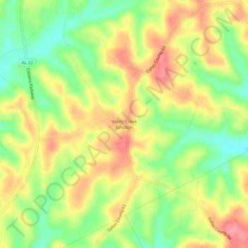
Name: Valley Creek Junction topographic map, elevation, terrain.
Location: Valley Creek Junction, Dallas County, Alabama, United States (32.54847 -86.96888 32.58847 -86.92888)
Average elevation: 115 m
Minimum elevation: 70 m
Maximum elevation: 157 m
Thank you for supporting this site ❤️
Make a donation
Make a donation
Other topographic maps
Click on a map to view its topography, its elevation and its terrain.