
Okuni topographic map
Click on the map to display elevation.
About this map
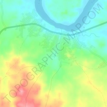
Name: Okuni topographic map, elevation, terrain.
Location: Okuni, Cross River State, Nigeria (5.91590 8.61180 5.95590 8.65180)
Average elevation: 64 m
Minimum elevation: 25 m
Maximum elevation: 130 m
Other topographic maps
Click on a map to view its topography, its elevation and its terrain.